|
Ghana is a lowland
country, except for a range of hills on the eastern border containing
Ghana's highest point is 2,9000 feet. The coastline is backed by a
coastal plain that is crossed by several rivers and streams, generally
navigable only by canoe or small boat. In the west the terrain is broken
by heavily forested hills and many streams and rivers. In the late 19th
century, hardwood forests covered the southern half of Ghana.
Considerable portions of these once-extensive forests have now been
destroyed by logging and agriculture. To the north lies an undulating
savanna country that is drained by the Black and White Volta rivers,
which join to form the Volta, which then flows south to the sea through
a narrow gap in the hills, where beginning in 1961, the construction of
the Akosombo Dam on the Volta formed Lake Volta. The lake covers an area
of 8,482 sq km (3,275 sq mi), making it one of the world’s largest
artificial lakes. The two major tributaries of the Volta are the Oti and
Afram rivers. Together, the rivers drain the Volta Basin. The Volta
finally enters the Gulf of Guinea at Ada in southeastern Ghana. The
tributaries of the Volta are too large and distant from Accra to be
included in this project.
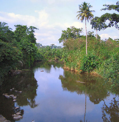
Ghana’s other
significant river systems are the Densu, Birim, Pra, and Ankobra. All
arise on the south side of the Kwahu Plateau and flow directly into the
Gulf of Guinea. Apart from the Volta, only the Pra and the Ankobra
rivers have a permanent channel throough the coastal sand dunes, with
most of the smaller rivers terminating in brackish lagoons.
The Pra is the
easternmost and the largest of the three principal rivers that drain the
area south of the Volta divide and enters the Gulf of Guinea east of
Takoradi. In the early part of the twentieth century, the Pra was used
extensively to float timber to the coast for export. This trade is now
carried by road and rail transportation.
A number of
rivers are found to the east of the Pra. The two most important are the
Densu and Ayensu, which are important as sources of water for Accra and
Winneba, respectively.
The
main study areas for
this project are on the Densu, Birim and Ayensu
|